Flint Hills Regional Plan
Information
- Location Strong City, Kansas
- Services Landscape, Sustainability
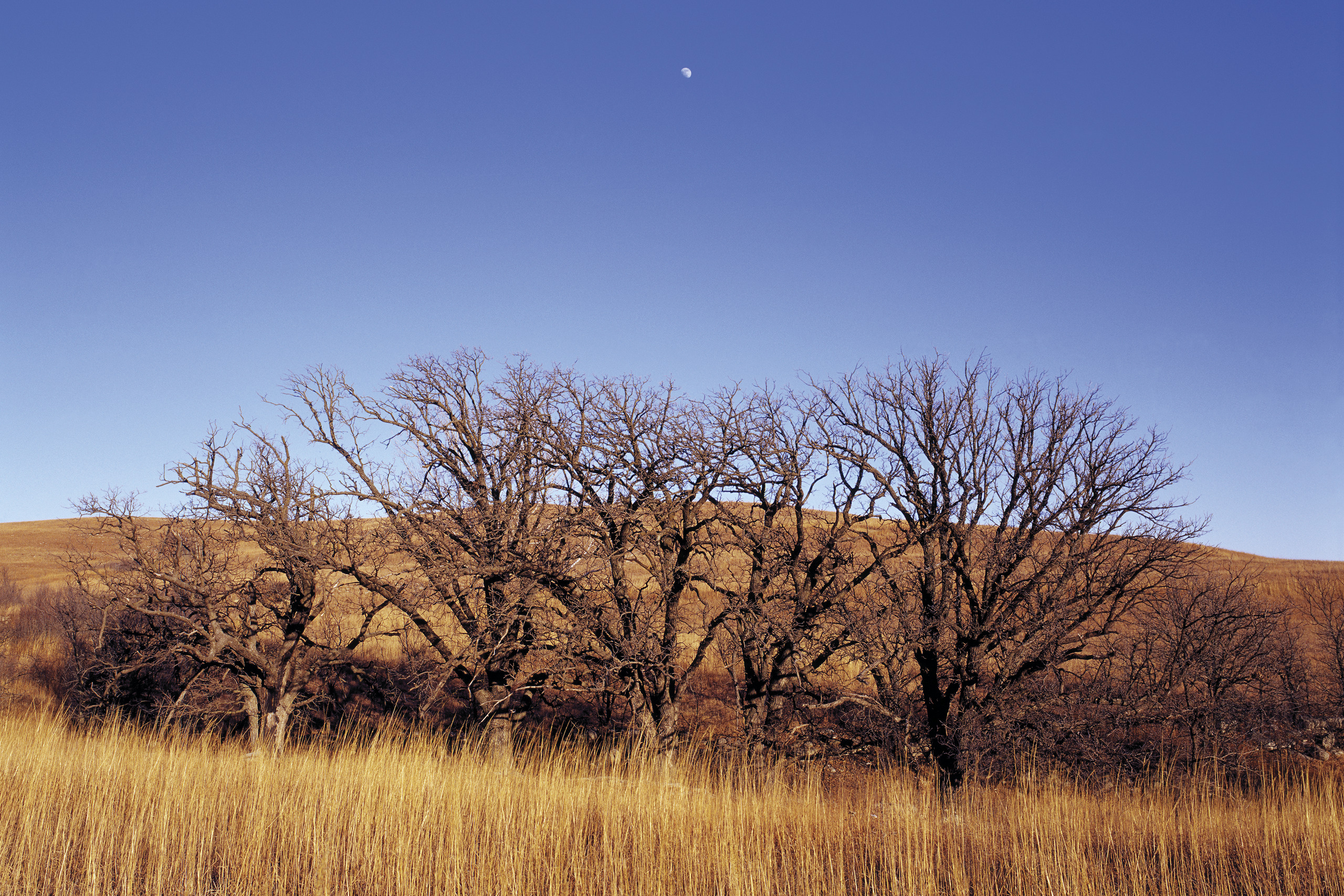
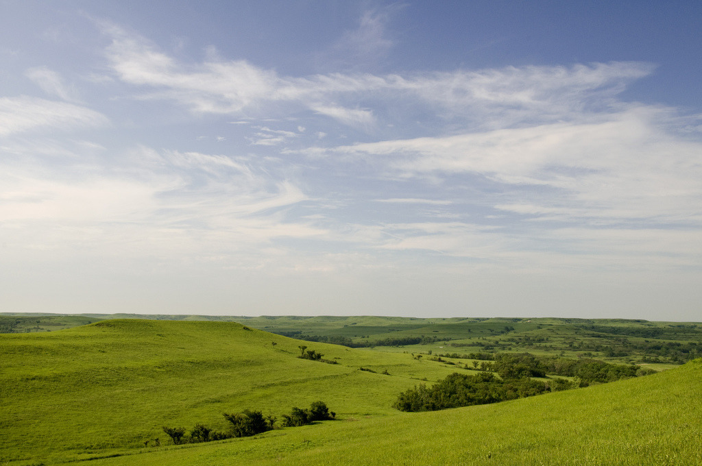
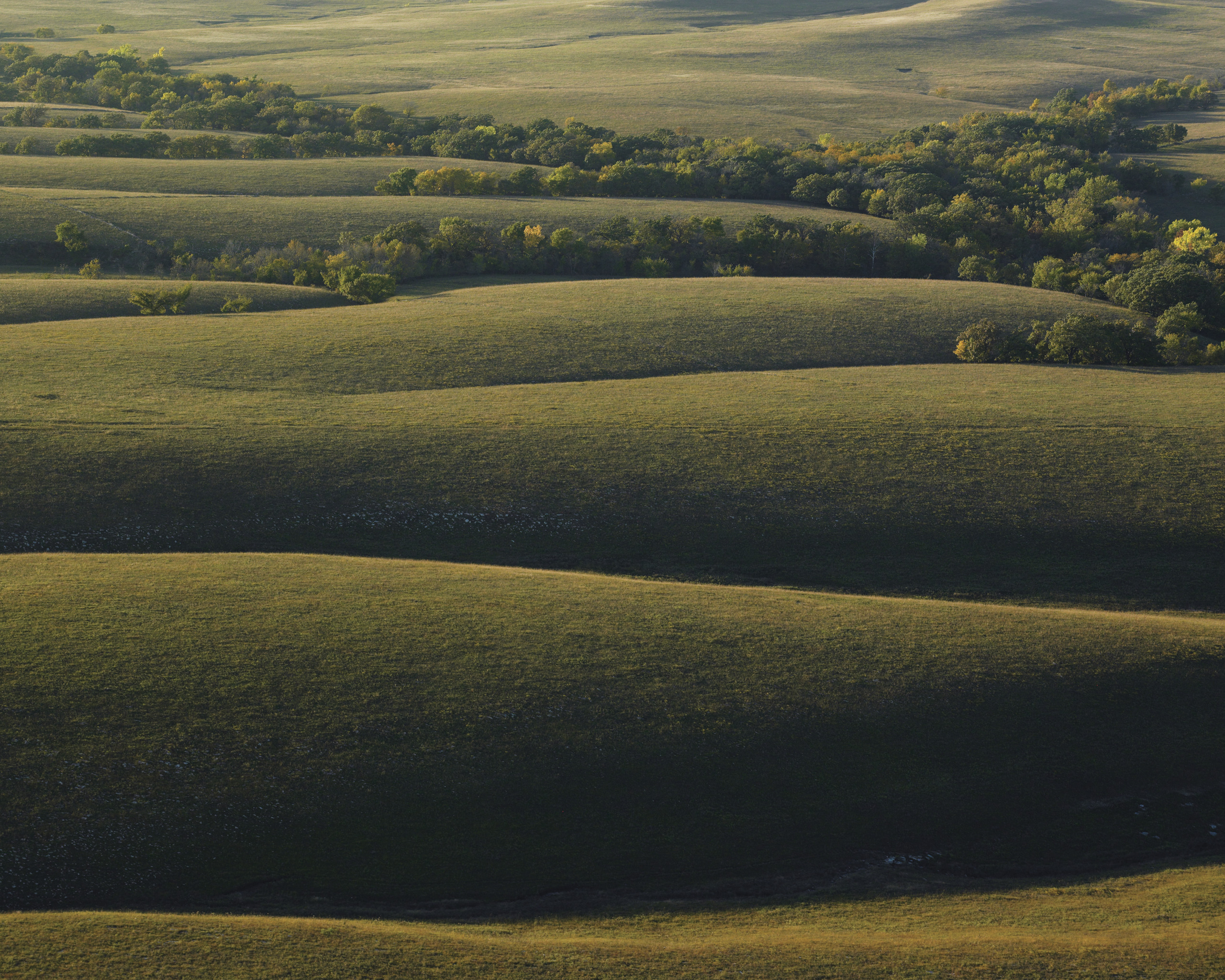
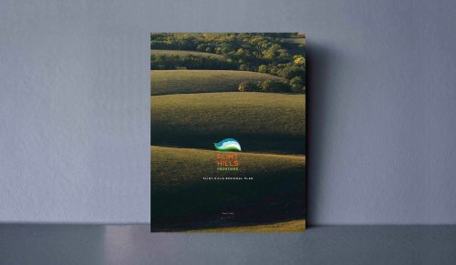
Once North America’s largest continuous ecosystem, only 4% of the Tallgrass Prairie remains today, mostly in Kansas. The Flint Hills Regional Plan will promote economic development, protect natural resources and strengthen the many communities that call the Flint Hills home. The prairie, its inhabitants and larger economic forces are all part of the same system. In the plan, the interconnectedness of the prairie serves as a model for securing the work of the people that live in the Flint Hills while expanding a variety of tourism opportunities – which is all achieved by caring for the ecosystem that nourishes the opportunity. The mounting interest in protecting the region provides an opportunity to outline a future that is integrated, sustainable and equitable.
People
Team
- Zach Flanders
- Christina Hoxie
- Phaedra Svec
- Lauren Garrott
- Emily Lucas
- Gunnar Hand
- Elise Hubbard
Client
Flint Hills Regional Council
Media
Library
Awards
APA Missouri
2015 MoAPA Original & Innovative Plan
2015